
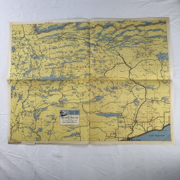
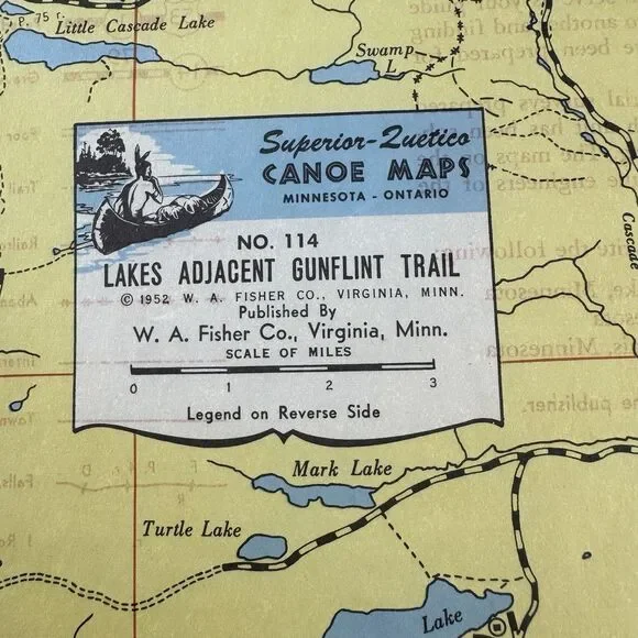
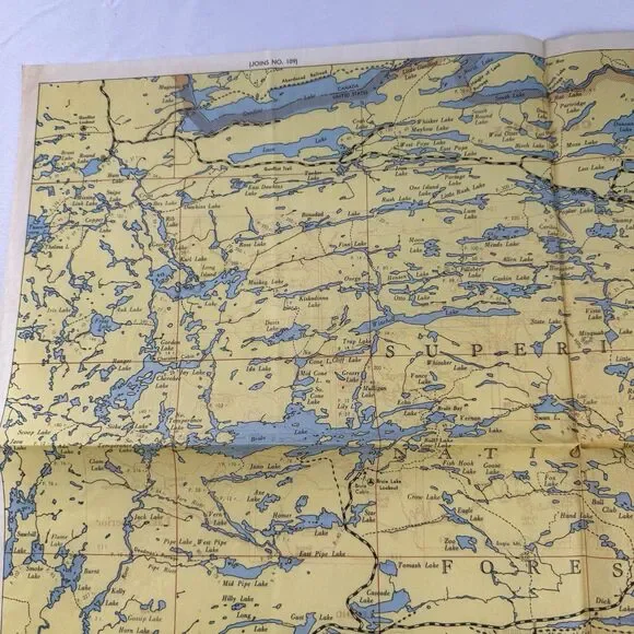
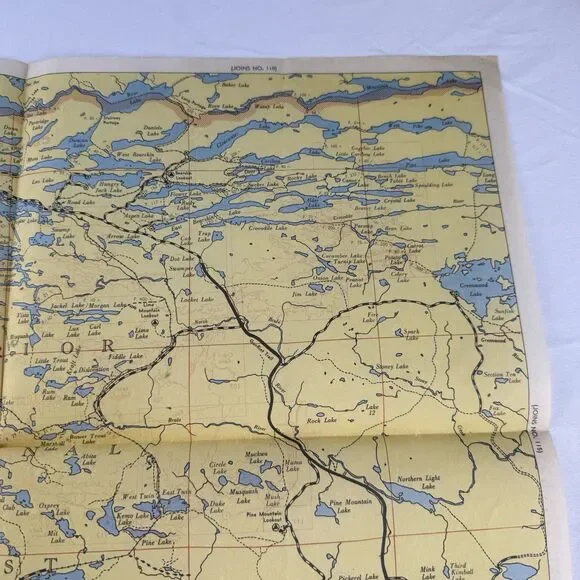
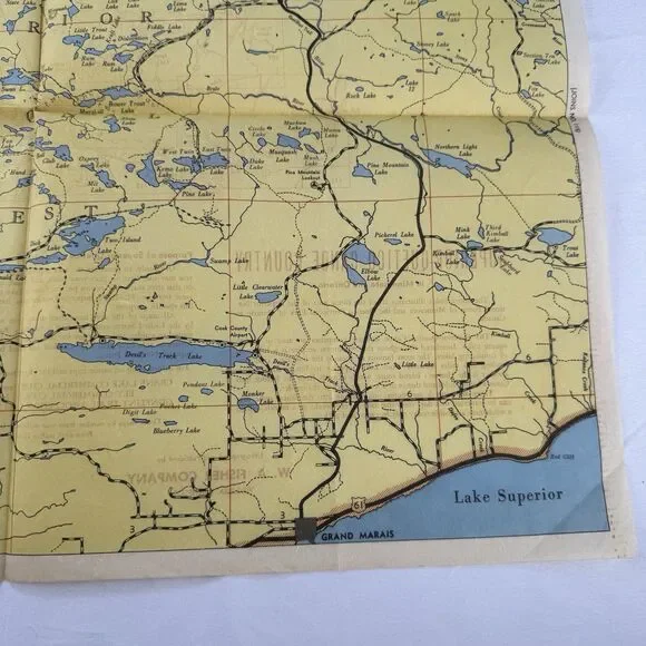
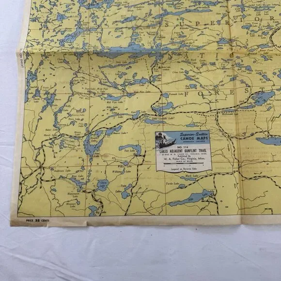
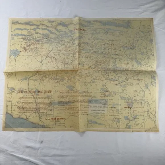
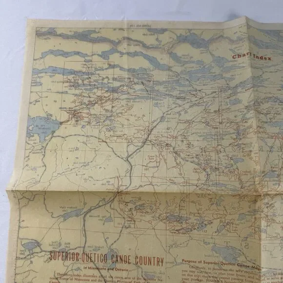
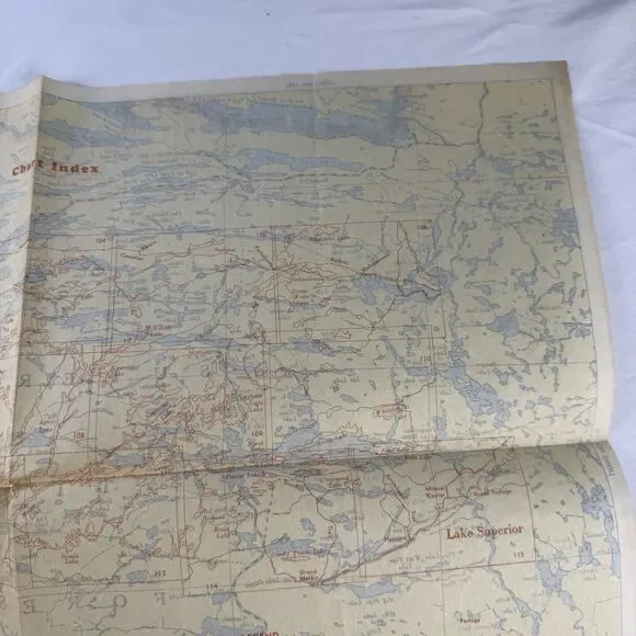
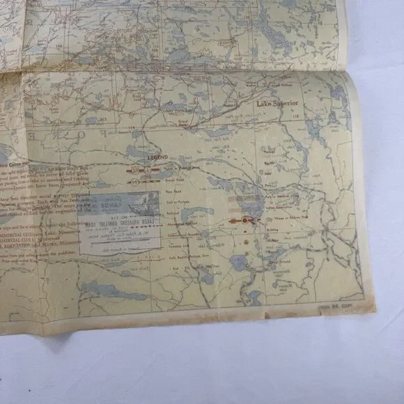
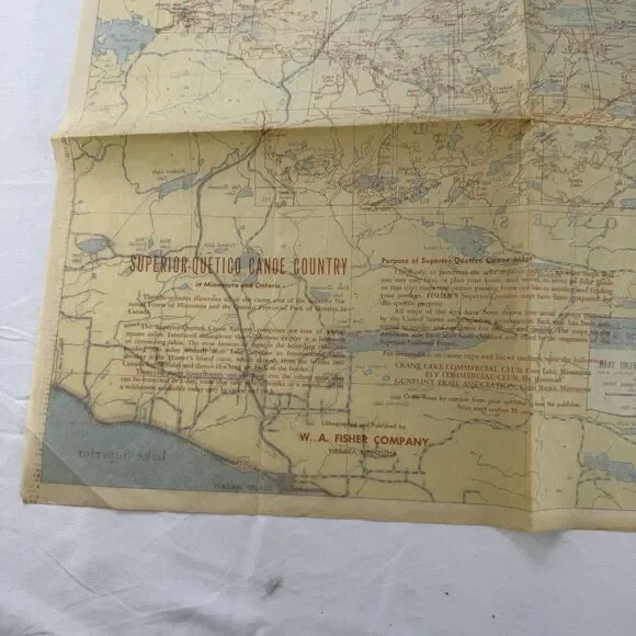
This is a vintage original map of the Quetico region in the United States, specifically focusing on the lakes adjacent the Gunflint Trail in Minnesota and Ontario. The map was created by Fisher Co Superior in 1952 and depicts the area as it was at that time. It is a great piece for collectors of transportation maps and atlases, particularly those interested in the history of the region.